SLAM data processing automation services

Seamless Workflow – how does it work?
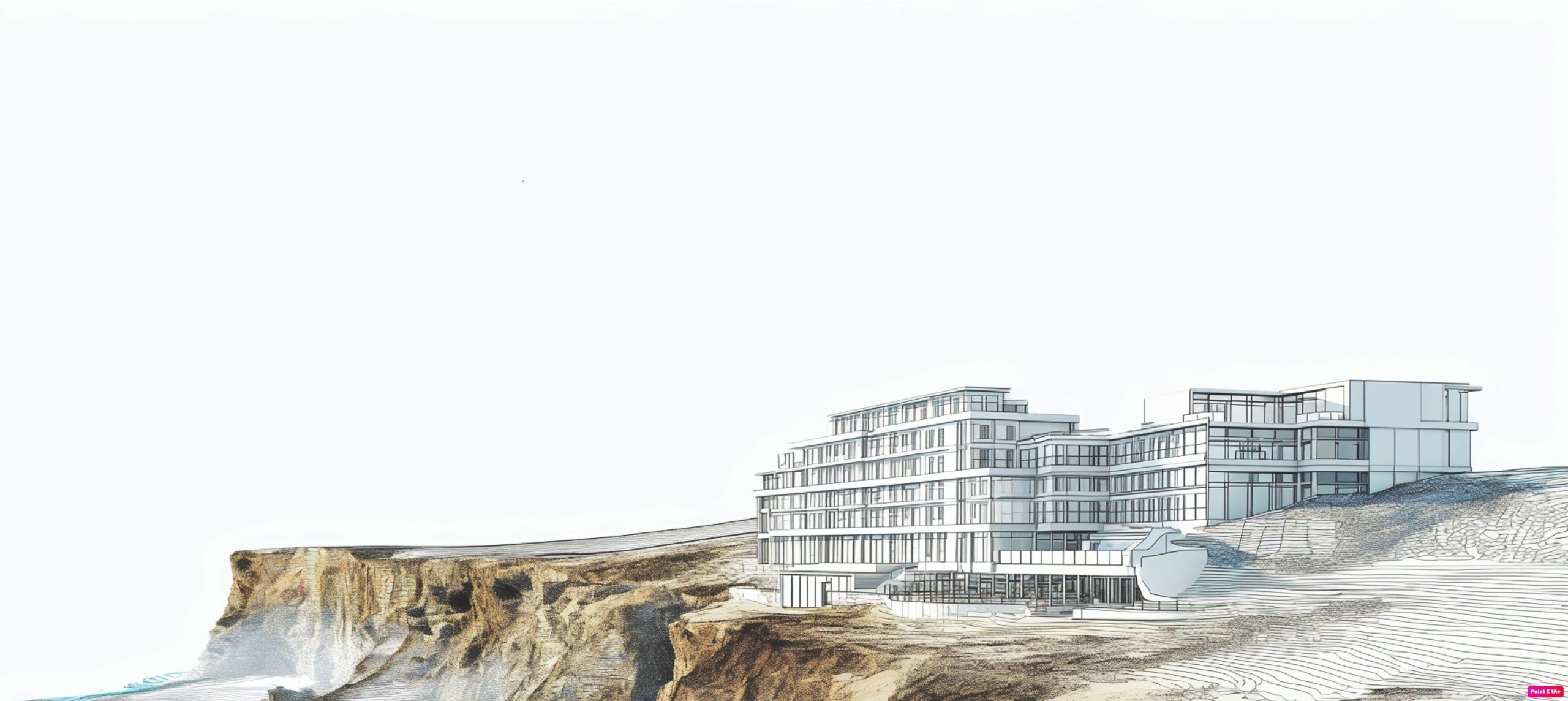
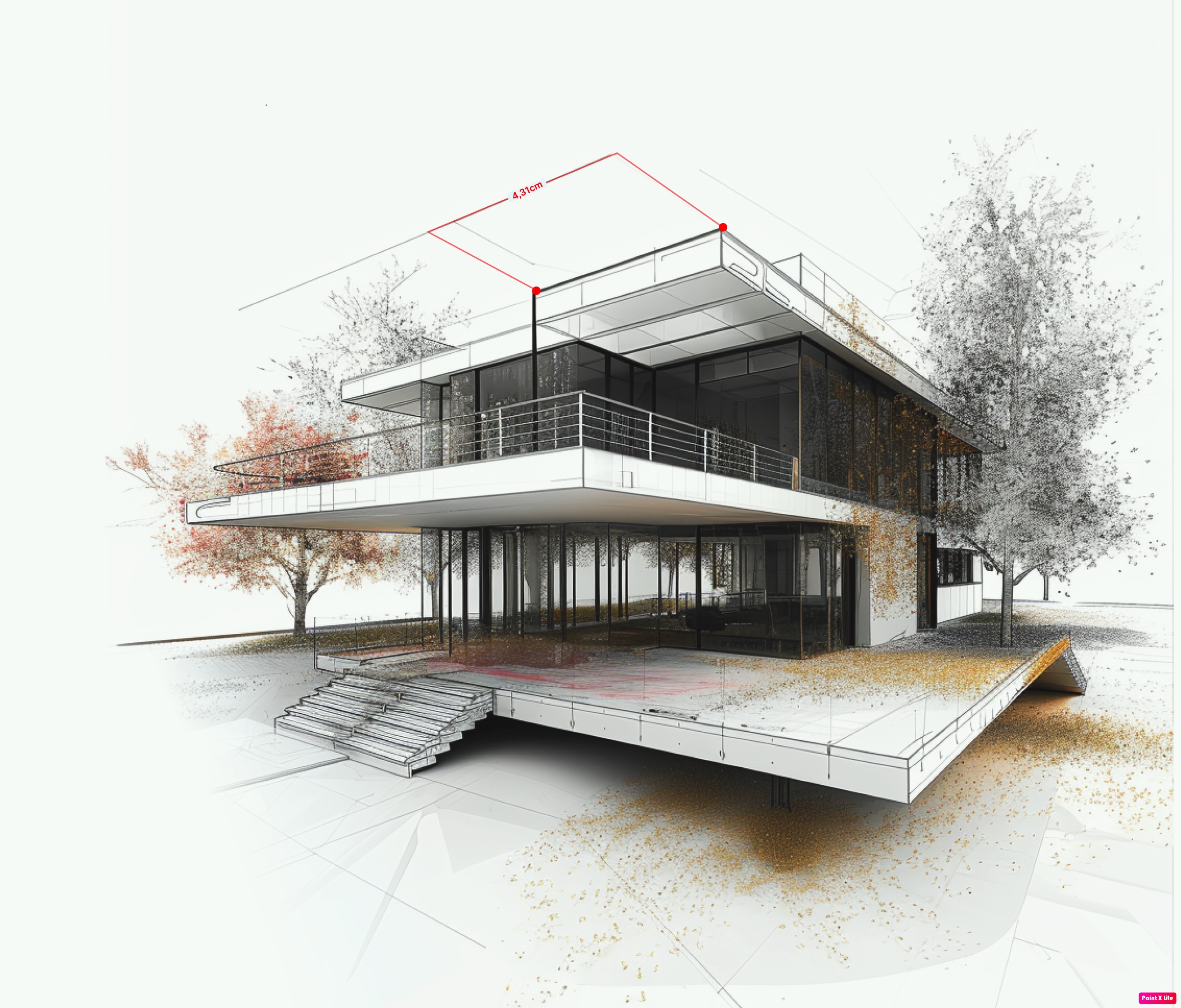
Optimize your workflow with fast, precise, and fully automated SLAM data processing. Our cloud-based solution converts raw SLAM data into high-quality, aligned point clouds, ensuring accurate trajectory correction, noise reduction, and seamless integration. With no complex setup required, simply upload your data, let our system process it, and access the results directly in your browser. Experience effortless, scalable, and reliable geospatial data management with Dappler.


Dappler Support Service for Mandeye scanners
Mandeye Support Service is dedicated to helping users process raw SLAM scanner data into high-quality point clouds, ensuring unparalleled accuracy and efficiency.
Dedicated Support Hours
Enjoy direct collaboration with our specialists through a fixed number of dedicated support hours, ensuring your success with every project.
Guidance on automation and trajectory correction
Improve accuracy and consistency in your scans with our automated trajectory adjustments and expert guidance tailored to your needs.
Annual Plan
Enjoy access to automated SLAM data processing and expert support for a full year. Optimize your workflow with priority assistance and seamless cloud-based solutions.
Why Choose Dappler?